About Coopernook
Coopernook is a small town in mid-north New South Wales, 24 km north of Taree and 11 km west of Harrington, in the MidCoast Council area. At the 2021 census, the town had 430 inhabitants and the surrounding area 625.
It was on the Pacific Highway until the Coopernook Bypass opened on 22 March 2006; the old highway crossed the Lansdowne River on a narrow iron girder bridge. The name means “the elbow” in Biripi, for the bend in the Lansdowne River that looks like an elbow.
How Coopernook got here
A few dates and facts that shaped the place.
1997
A sandstone obelisk is erected to commemorate those who served in the two World Wars and Vietnam.
22 March 2006
The Coopernook Bypass opens, and the highway leaves the village.
20 March 2021
The Lansdowne River breaks its bank and floods the low-lying part of the township, cutting it off.
More about Coopernook
Early settlers here included the Calvin, Rose, Eggins, Gillogilly, Longworth, Latham, Towers and Buchanan families.
Write something…
Where is Coopernook?
Coopernook is in the MidCoast Council area on the Mid North Coast of New South Wales.
Nearby towns with hubs on OurHub, with straight-line distances: Moorland (7 km north-east), Harrington (8 km south-east), Lansdowne (9 km north-west), Manning Point (9 km south-east).
What the Coopernook directory lists
To eat and drink: Hotel Coopernook. Shops and services: Coopernook Post Office. Parks, beaches and recreation: Coopernook Park.
Schools and learning: Coopernook Public School. Churches: Coopernook Uniting Church, St Lukes. Emergency services: Coopernock Rural Fire Brigade, Coopernook Police Station, Kundle/Moto Rural Fire Brigade.
Get in touch
A question, something out of date, a group to link, or the keys to this hub: send it here and someone at OurHub will get back to you.
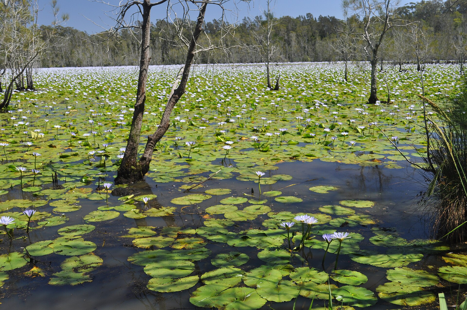
Photo: “Coopernook NSW 2426, Australia - panoramio” by ross bate (CC BY 3.0), via Wikimedia Commons. Town facts: Wikipedia (CC BY-SA 4.0), which cites the Australian Bureau of Statistics census. Straight-line distances are worked out from the hub’s coordinates. Directory locations © OpenStreetMap contributors (ODbL).